Download IVISION Catalog

 01
Prepare the view
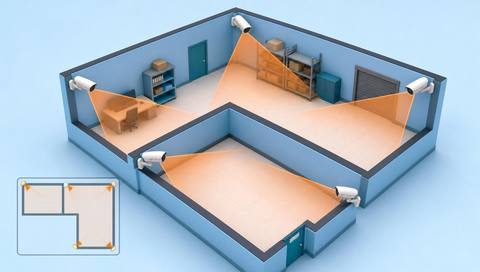
Validate the floor plan and camera alignment.


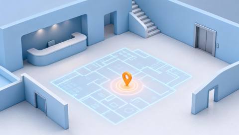
The portal contains a map interface, but a production positioning service was not verified. Any deployment needs accurate floor plans, camera alignment and observation sources before markers can be treated as operational location information.
Catalog workflow. Confirm detector availability, permitted use and event delivery for the proposed deployment. Website examples are illustrative.
Assess map-data readiness
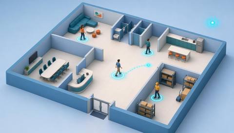
 Without IVISIONStandard CCTV feed
 With IVISIONIllustrative event overlay
The Process
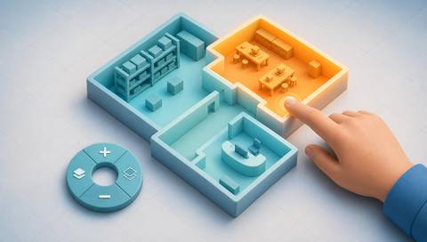
A map marker needs a verified data source Connect sightings to a map without inventing precision.
01Validate the floor plan and camera alignment.
 02
Confirm the source and precision of location observations.
 03
Show timestamped markers with uncertainty and stale-data handling.
 04
Verify the source evidence before directing an operational response.
Explore Your Options
| Dimension |  Live location maps |  Interactive facility maps |
|---|---|---|
| Observation |  Recent observations associated with mapped locations. | A selected floor, area or map-linked source. |
| Event criteria | A verified provider supplies an observation that can be placed on the map. | A user chooses a mapped location or associated record. |
| Monitoring setup | Confirm coordinate mapping, source, freshness and uncertainty. | Confirm plan version, floor labels and linked data. |
| What it cannot establish | Cannot guarantee exact coordinates, continuous coverage or current position. | Does not itself detect people, route movement or certify safe access. |
| Practical outcome | Help operators inspect location context while seeing freshness and uncertainty. | Help users understand where an observation belongs. |
Illustrative demonstration
Example footage and simulated events explain the review workflow. They do not measure detector performance.
 Sites overview
No matching events.
EXPLORE WHAT’S POSSIBLE
01 / 04 · LIVE LOCATION MAPS
An old plan misplaces a sighting.
Example event: A marker appears in the wrong bay.
Operator response: Correct alignment before relying on the map.
Practical value: Protects location interpretation.
Discuss this capability02 / 04 · LIVE LOCATION MAPS
Similar coordinates exist on different levels.
Example event: A sighting lacks clear floor context.
Operator response: Verify floor and source camera.
Practical value: Avoids misdirected review.
Discuss this capability03 / 04 · LIVE LOCATION MAPS
Updates can pause.
Example event: A marker remains after data stops.
Operator response: Check its age and feed status.
Practical value: Prevents stale-location assumptions.
Discuss this capability04 / 04 · LIVE LOCATION MAPS
Use surveyed or validated camera-to-plan alignment.
Visibility: Uncovered regions remain unknown.
Configuration: Production map positioning was not established in the inspected source.
Privacy: Restrict location data to the approved purpose.
Human review: Confirm source image, floor and time.
Discuss this capabilityFrequently asked questions
A catalog workflow for placing recent, associated observations on a calibrated facility map.
No. They are illustrative.
Only a separately validated positioning method could support that precision.
The interface should indicate stale observations.
No. They also need reliable observation data and alignment.
Find your fit
Help operators inspect location context while seeing freshness and uncertainty. For Operations coordinators, Facility security.
Workflow to discuss
Live location maps + Connect sightings to floor context.
Discuss a camera view, a monitoring question and the review process your team needs.